Wisconsin Great Lakes Marina Resilience Assessment
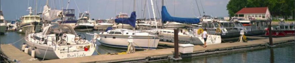
A guide that helps identify risks and vulnerabilities and provide options to increase marina resiliency. Wisconsin Great Lakes Marina Resilience Assessment Overview The Wisconsin Great Lakes Marina Resilience Assessment is a resource for…