ROTM

Wisconsin Coastal Atlas

A technology platform that enables people to better understand coastal issues, share coastal data and inform decision-making about sustainable use of the Great Lakes.   Wisconsin Coastal Atlas   Overview The Wisconsin Coastal Atlas is a technology platform that enables people to better understand coastal issues, share coastal data and inform decision-making about sustainable use of the…
Read more

Vegetative Best Management Practices: A Manual for Pennsylvania/Lake Erie Bluff Landowners

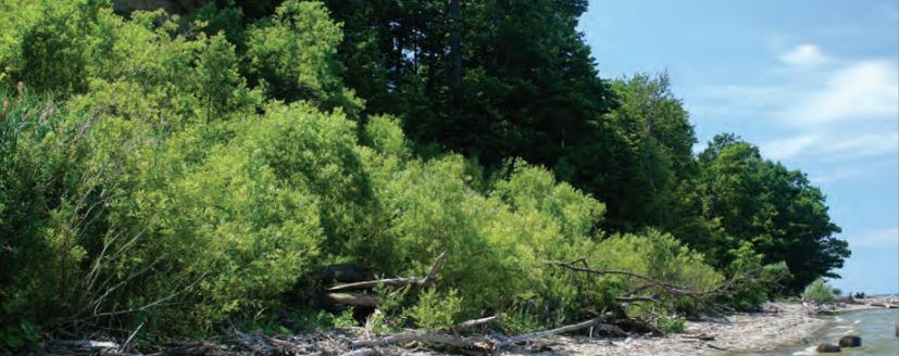
A handbook that provides technical assistance to Lake Erie property owners affected by shoreline erosion and bluff recession.   Vegetative Best Management Practices: A Manual for Pennsylvania/Lake Erie Bluff Landowners   Overview Vegetative Best Management Practices: A Manual for Pennsylvania/Lake Erie Bluff Landowners is a handbook that provides technical assistance to Lake Erie property owners…
Read more

Updated: Wisconsin Shoreline Inventory & Oblique Photo Viewer – Featuring NEW Bluff Recession Data

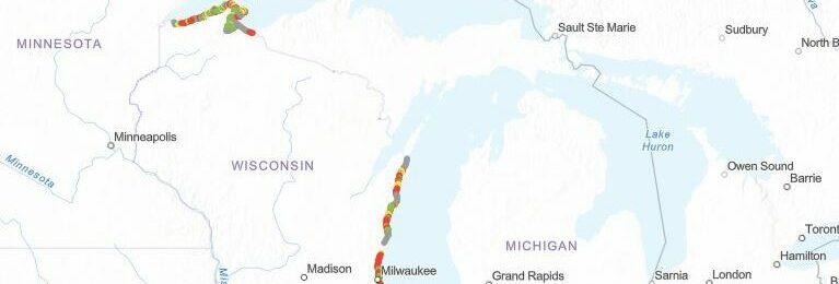
A web-based, interactive map of Wisconsin coastal data that enables users to visualize the temporal changes to Wisconsin’s shorelines.   Wisconsin Shoreline Inventory & Oblique Photo Viewer Featuring NEW Bluff Recession Data   The Wisconsin Shoreline Inventory and Oblique Photo Viewer is a web-based, interactive map of Wisconsin coastal data that enables users to visualize…
Read more

Wisconsin Shoreline Inventory & Oblique Photo Viewer

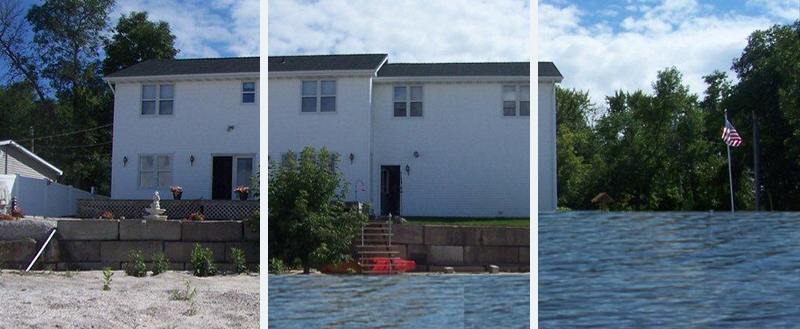
A web-based, interactive map of Wisconsin coastal data that enables users to visualize the temporal changes to Wisconsin’s shorelines.   Wisconsin Shoreline Inventory and Oblique Photo Viewer   Overview The Shoreline Inventory and Oblique Photo Viewer is a web-based, interactive map of Wisconsin coastal data that enables users to visualize the temporal changes to Wisconsin’s…
Read more

US Army Corps of Engineers Monthly Bulletin of Great Lakes Water Levels

A set of online figures that depict past, present, and future water levels for each Great Lake.   US Army Corps of Engineers Monthly Bulletin of Great Lakes Water Levels   Overview The Monthly Bulletin of Great Lakes Water Levels is a set of online figures that depict past, present, and future water levels for each Great…
Read more

US Army Corps of Engineers Monthly Bulletin of Great Lakes Water Levels

A set of online figures that depict past, present, and future water levels for each Great Lake.   US Army Corps of Engineers Monthly Bulletin of Great Lakes Water Levels   Overview The Monthly Bulletin of Great Lakes Water Levels is a set of online figures that depict past, present, and future water levels for each…
Read more

Updated: Wisconsin Shoreline Inventory & Oblique Photo Viewer – Featuring NEW photos from 2020

A web-based, interactive map of Wisconsin coastal data that enables users to visualize the temporal changes to Wisconsin’s shorelines.   Updated: Wisconsin Shoreline Inventory & Oblique Photo Viewer Featuring NEW photos from 2020   The Wisconsin Shoreline Inventory and Oblique Photo Viewer is a web-based, interactive map of Wisconsin coastal data that enables users to visualize the…
Read more

The Certified Coastal Practitioner™ Program

Credentialing program designed to provide participants with a wide scope of resources and instruction on a variety of elements related to coastal practice.   The Certified Coastal Practitioner™ (CCP) Program   Overview This program is hosted through the Coastal Zone Foundation. It provides participants with the opportunity to complete 10 out of 11 modules in…
Read more

FEMA Hazard Mitigation Assistance Grant Programs

Fact sheet summarizing FEMA’s Hazard Mitigation grant and assistance programs.   Summary of FEMA Hazard Mitigation Assistance Grant Programs   Review the Fact Sheet   Overview This fact sheet summarizes FEMA’s Hazard Mitigation grant and assistance programs. It includes general information about each program, eligibility information, dates and deadlines, application processes, and an explanation of…
Read more

Stabilizing Coastal Slopes on the Great Lakes

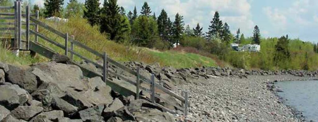
Publication that discusses shoreline erosion and slope stability.   Stabilizing Coastal Slopes on the Great Lakes   Overview Stabilizing Coastal Slopes on the Great Lakes is a 16-page publication that discusses shoreline erosion and slope stability. This fact sheet covers topics including visible indicators of erosion and slope instability, management of surface water runoff, groundwater…
Read more