Great Lakes Coastal Resilience Planning Guide

Great Lakes Coastal Resilience Planning Guide

The planning guide features information, ideas and advice related to combating coastal hazards, such as coastal flooding, in Great Lakes communities.   Great Lakes Coastal Resilience Planning Guide   Overview of the Guide  The Great Lakes Coastal Resilience (GLCR) Planning Guide is a hub of ideas, advice and resources. The Guide aims to connect members…
Read more
CALM Logo

March 2022 CALM Kick-Off Meeting Summary

Meeting summary for the March 2022 CALM Network held virtually on March 23, 2022.   March 2022 CALM Kick-Off Meeting Summary   The kick-off meeting for the Collaborative Action for Lake Michigan (CALM) Coastal Resilience network was held virtually on March 23, 2022. CALM is a network for communities along Wisconsin’s entire Lake Michigan coastline…
Read more

Wisconsin Initiative on Climate Change Impacts’ 2021 Assessment Report

The 2021 report features new climate data and explains the issues and impacts of a changing climate on Wisconsin residents and describes the scientific progress made toward solutions.   Wisconsin Initiative on Climate Change Impacts – 2021 Assessment Report: Wisconsin’s Changing Climate   Overview of the Report The Wisconsin Initiative on Climate Change Impacts (WICCI)…
Read more

February 2022 Water Level Update

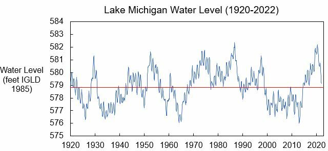
Lake Michigan water levels have continued their seasonal decline this fall, decreasing by about 5 inches from January to February. Though Lake Michigan is now about 28 inches below the highest monthly water level recorded for January in 2020, the Lake is still about 10 inches above the long-term average water level. Water levels are…
Read more

January 2022 Water Level Update

Lake Michigan water levels have continued their seasonal decline this fall, decreasing by about 5 inches from December to January. Though Lake Michigan is now about 28 inches below the highest monthly water level recorded for January in 2020, the Lake is still about 10 inches above the long-term average water level. Water levels are…
Read more

NOAA Coastal County Snapshots

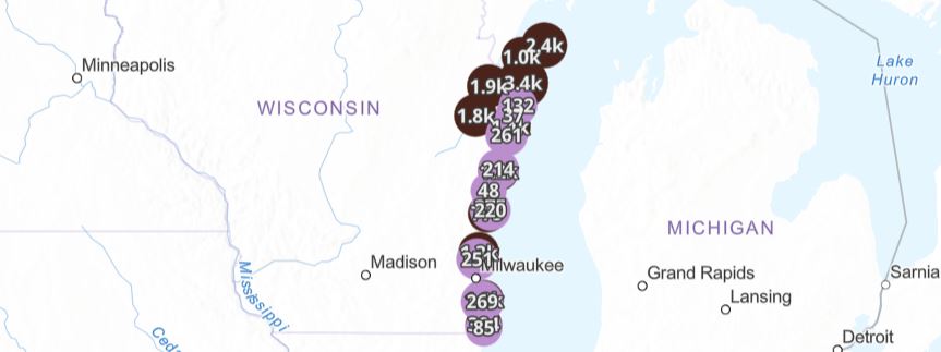
Data hub that organizes county-level coastal resilience data for more than 850 coastal counties. NOAA Coastal County Snapshots    Overview   This data hub provided by the National Oceanic and Atmospheric Administration (NOAA) organizes county-level coastal resilience data for more than 850 coastal counties in the United States. Data are gathered from sources including the U.S.…
Read more

Updated: Wisconsin Shoreline Inventory & Oblique Photo Viewer – Featuring NEW photos from 2021

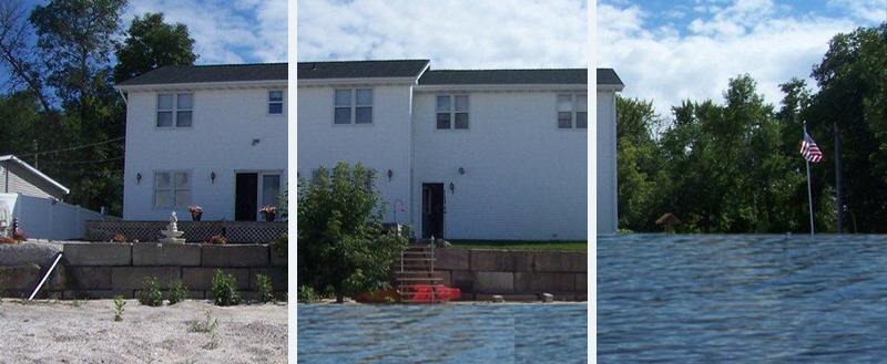
A web-based, interactive map of Wisconsin coastal data that enables users to visualize the temporal changes to Wisconsin’s shorelines. Updated: Wisconsin Shoreline Inventory & Oblique Photo Viewer Featuring NEW photos from 2021   Overview The Wisconsin Shoreline Inventory and Oblique Photo Viewer is a web-based, interactive map of Wisconsin coastal data that enables users to visualize…
Read more