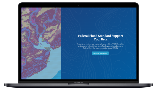
Local Infrastructure Hub
Helping navigate federal funding opportunities. Local Infrastructure Hub Launch Website Overview The Local Infrastructure Hub is a national consortium led by Bloomberg Philanthropies that is helping small and midsized communities develop competitive infrastructure grant applications. This includes boot camps and trainings on grant applications. Key points The Local Infrastructure Hub has a searchable…
Read more