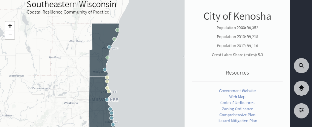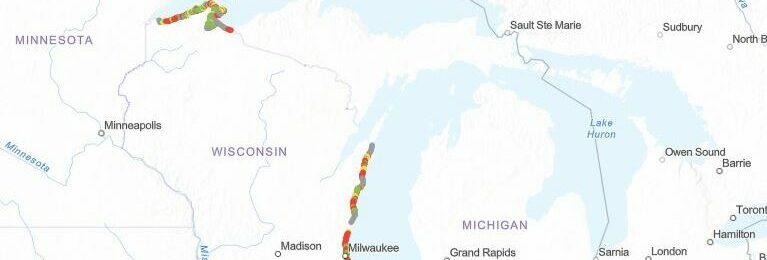
Wisconsin Shoreline Inventory & Oblique Photo Viewer
A web-based, interactive map of Wisconsin coastal data that enables users to visualize the temporal changes to Wisconsin’s shorelines. Wisconsin Shoreline Inventory and Oblique Photo Viewer Overview The Shoreline Inventory and Oblique Photo Viewer is a web-based, interactive map of Wisconsin coastal data that enables users to visualize the temporal changes to Wisconsin’s…
Read more