Great Lakes Water Level Dashboard
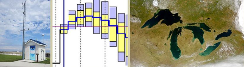
Interactive dashboard of monthly water level data for each of the Great Lakes. Great Lakes Water Level Dashboard Overview The Great Lakes Water Level Dashboard is an online, interactive dashboard of monthly water…