2018

Wisconsin Shoreline Inventory & Oblique Photo Viewer

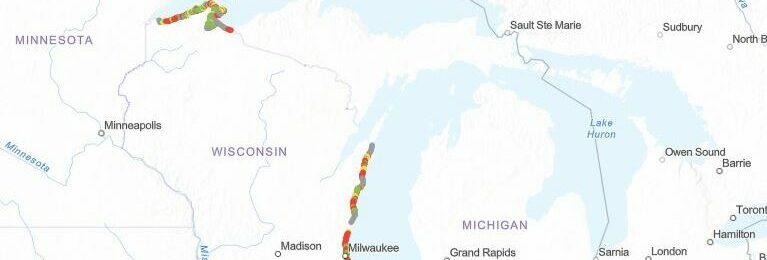
A web-based, interactive map of Wisconsin coastal data that enables users to visualize the temporal changes to Wisconsin’s shorelines.   Wisconsin Shoreline Inventory and Oblique Photo Viewer   Overview The Shoreline Inventory and Oblique Photo Viewer is a web-based, interactive map of Wisconsin coastal data that enables users to visualize the temporal changes to Wisconsin’s…
Read more
Fall 2018 Water Level Update: Lake Michigan Water Levels Remain Above Average

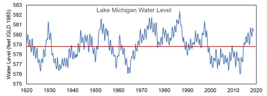
The water level of Lake Michigan as of November 2nd, 2018 is at an elevation of 580.25 feet above sea level (from the International Great Lakes Datum). This puts Lake Michigan at 19 inches above the long-term average water level for the month of November, calculated from water levels measured from 1918 to present. From…
Read more

Coastal Resilience Boat Tours: A New Perspective on the Coast

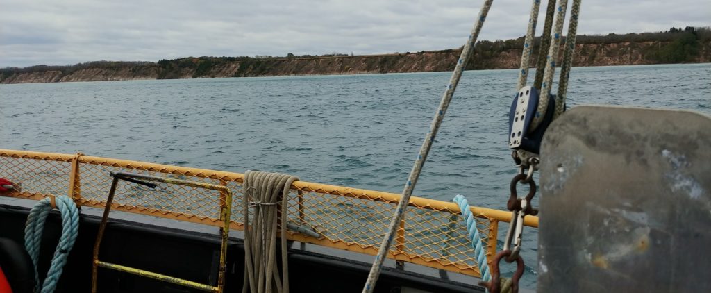
Coastal Resilience Boat Tours: A New Perspective on the Coast   The University of Wisconsin Sea Grant Institute hosted Coastal Resilience Boat Tours along the coast of Lake Michigan on the mornings of October 17th and October 18th out of Port Washington and Racine, respectively. County and municipal staff who participate in the Southeastern Wisconsin…
Read more

Spring 2018 Coastal Resilience Community of Practice Meeting

Spring 2018 Coastal Resilience Community of Practice Meeting   A spring meeting for the Southeastern Wisconsin Coastal Resilience Community of Practice was held in Cudahy, WI on May 2nd. Three guest speakers shared information on shoreline and bluff erosion processes as well as some possible steps and resources to address these issues. Professor David Mickelson…
Read more

Spring 2018 Water Level Update

The water level of Lake Michigan in June of 2018 remains above the long-term average, as it has since April of 2014. According to the U.S. Army Corps of Engineers Weekly Great Lakes Water Level Update for June 22, 2018, Lake Michigan is 18 inches above the long-term average water level for the month of…
Read more

Image of map of Southeast Wisconsin coastal communities

Southeastern Wisconsin Coastal Community Overview Map

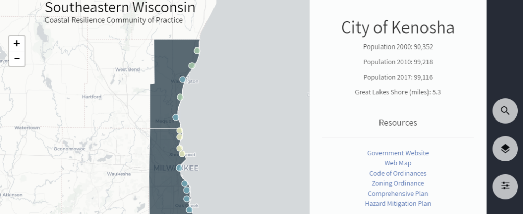
Southeastern Wisconsin Coastal Community Overview Map \   An interactive map has been developed that provides quick access to local government information about coastal resilience for communities in southeastern Wisconsin. By clicking on one of the 22 municipalities and 4 counties along the coast, one can access useful information including general government and mapping websites, comprehensive…
Read more