Local Infrastructure Hub

Local Infrastructure Hub

Helping navigate federal funding opportunities.   Local Infrastructure Hub Launch Website Overview The Local Infrastructure Hub is a national consortium led by Bloomberg Philanthropies that is helping small and midsized communities develop competitive infrastructure grant applications. This includes boot camps and trainings on grant applications.   Key points The Local Infrastructure Hub has a searchable…
Read more
Great Lakes Environmental Justice Thriving Communities Technical Assistance Center

Helping navigate federal funding opportunities.   Great Lakes Environmental Justice Thriving Communities Technical Assistance Center Launch Website Overview The Great Lakes Thriving Communities Technical Assistance Center (TCTAC) helps rural, tribal and historically underserved communities in EPA Region 5 locate and apply for federal funding. The Great Lakes TCTAC provides information on current federal funding opportunities,…
Read more

Federal Flood Standard Management Tool (Beta)

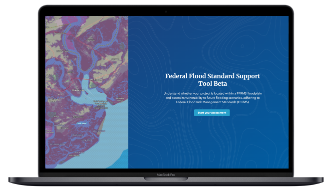
Federal Flood Standard Support Tool

A new tool for determining flood risk.   Federal Flood Standard Support Tool Launch Tool Overview The White House released a blog on flood resilience and launched a beta version of a new website and mapping tool that will help users to search an address to determine if that location is in a high flood…
Read more

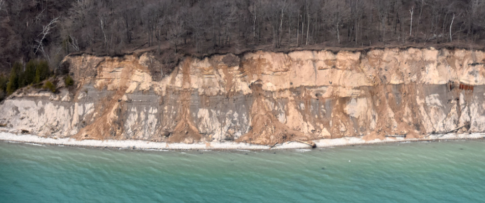
Visual Signs of Erosion Photo Guide

A guide for spotting signs of erosion along Wisconsin’s coastlines.   Visual Signs of Erosion Photo Guide Download the Guide Overview This photo guide was developed by Wisconsin Sea Grant and the Wisconsin Coastal Management Program for local government staff, planning and zoning staff, and coastal professionals to discuss erosion topics with property owners. This…
Read more

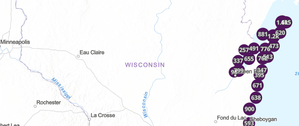
Updated: Wisconsin Shoreline Inventory & Oblique Photo Viewer

A web-based, interactive map of Wisconsin coastal data that enables users to visualize the temporal changes to Wisconsin’s shorelines.   Wisconsin Shoreline Inventory & Oblique Photo Viewer Featuring NEW photos from 2024   Overview The Wisconsin Shoreline Inventory and Oblique Photo Viewer is a web-based, interactive map of Wisconsin coastal data that enables users to…
Read more

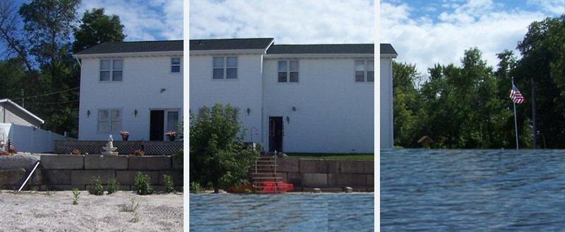
Great Lakes Coastal Resilience Planning Guide

The planning guide features information, ideas and advice related to combating coastal hazards, such as coastal flooding, in Great Lakes communities.   Great Lakes Coastal Resilience Planning Guide   Overview of the Guide  The Great Lakes Coastal Resilience (GLCR) Planning Guide is a hub of ideas, advice and resources. The Guide aims to connect members…
Read more