A new tool for determining flood risk.
Federal Flood Standard Support Tool
Overview
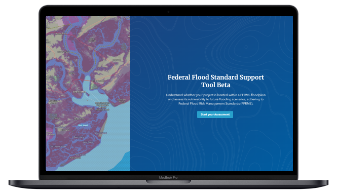
The White House released a blog on flood resilience and launched a beta version of a new website and mapping tool that will help users to search an address to determine if that location is in a high flood risk area. The Federal Flood Standard Support Website and Tool will help users implement the Federal Flood Risk Management Standard (FFRMS). The FFRMS applies to projects where federal funds are used for new construction, substantial improvement, or repairs to address substantial damage. This can include projects such as critical infrastructure, federal facilities, clean energy, transportation, or broadband internet projects. The Tool will help users seeking federal funding for such projects to determine if they will be located within an area with increased risk of flooding. The work to develop freeboard mapping is currently ongoing, and data is being added to the Tool on a regular basis.
Key points
- New website and mapping tool that will help users to search an address to determine if that location is in a high flood risk area.
- Before launching the tool, users can check the Status Map to determine if data are available in your area of interest.
- Developers are are looking to gather input and feedback from the public to improve the tool’s functionality.
