A clearinghouse of data, tools, case studies, and trainings to help address coastal issues.
NOAA Digital Coast
Visit the NOAA Digital Coast
Overview
The Digital Coast was developed to meet the unique needs of the coastal management community. The website provides coastal data, tools, training, and information needed to make these data truly useful. Content comes from many sources, all of which are vetted by NOAA.
The content found in these resources can be used by community leaders, the public and decision-makers to make informed decisions affecting the coast. It can be used to inform relevant groups about coastal processes, promote success stories to be modeled off of, and access tools for further education.
The NOAA Digital Coast contains multiple categories of resources:
- Data – These include, but are not limited to lidar, economic, and land cover data.
- Tools – Tools to help transform data into useable information for coastal management decisions.
- Training – Search through a variety of online or classroom instructor-led trainings, self-guided trainings, videos, webinars, etc.
- Topics – Quick links to the top Digital Coast resources communities use to address common coastal management issues.
- Stories from the Field – See how communities throughout the coastal zone use Digital Coast products.
Data sets range from economic data to satellite imagery. The site contains visualization tools, predictive tools, and tools that make data easier to find and use. Training courses are available online or can be brought to the user’s location. Information is also organized by focus area or topic. Resources that can be searched for and filtered based on focus areas such as coastal hazards, community resilience, etc.; data types like land cover, weather, etc.; regions like the Great Lakes; and tool types such as visualization, reporting, etc.
Tips for First Time Users
- Topics — This section provides quick links to the top Digital Coast resources.
- Stories from the Field — See how other communities have utilized Digital Coast products.
- Top Products — Top data sets include lidar, economic, and land cover data. Most used tools include the Sea Level Rise Viewer and Land Cover Atlas.
- Questions about Digital Coast? The FAQ is a great place to start.
Diving into the Digital Coast
NOAA has recently put together a recorded training on how to navigate the website with resources related to the Great Lakes. The virtual training recording can be found here and a list of the featured resources is also available: Diving into the Digital Coast Great Lakes resources.
Stay Connected
Sign up for Digital Coast newsletters: https://coast.noaa.gov/contactform/?subject=digitalcoast
Digital Coast Highlights
| Trainings
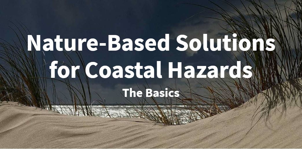
Nature-Based Solutions for Coastal Hazards: The Basics The Digital Coast offers online and in-person trainings. Self-guided trainings can be accessed at anytime. This nature-based solutions interactive training teaches an approach for identifying a community’s coastal hazard issues, ecosystem services that can reduce hazard impacts, and green infrastructure practices that can provide those services. The training also helps the user develop the beginnings of a community green infrastructure plan.
|
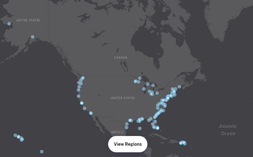
Stories The stories section shows how people use Digital Coast resources to address coastal challenges. Select a location on the map to learn more about coastal projects and initiatives. |
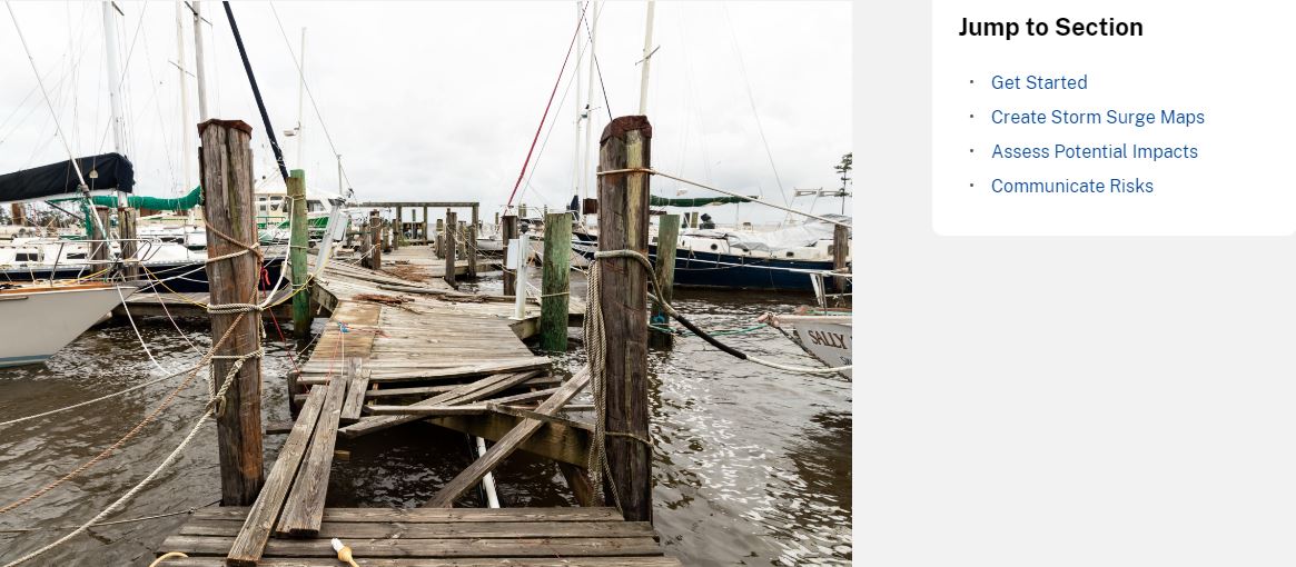
Topics The Digital Coast also organizes resources by topic. Different resources such as data, trainings, and case studies can be filtered through a list of eleven topics. The topic list includes: adaptation strategies, coastal and ocean economy, coastal landcover, coastal storms, coastal inundation, ecosystem services, natural infrastructure, ocean planning, risk communication, vulnerability assessments, and water quality. The resources in the Coastal Storms topic help officials understand potential impacts and take the steps needed to lessen damages and increase community resilience. |
| Data
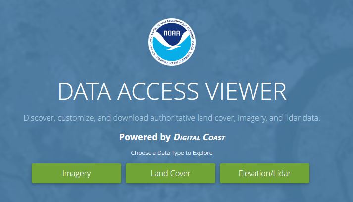
The Digital Coast hosts a variety of data sources including: elevation; landcover; weather, climate, and hazards; imagery; socioeconomics; boundaries; infrastructure; marine habitat and species; ocean uses and planning areas; oceanographic; shoreline and surface water; and water quality. The Data Access Viewer is an interactive platform in a map-based format. It allows users to look up and download imagery, land cover, and elevation lidar data for the coastal US including the Great Lakes regions. It is an authoritative source for up-to-date and accurate land information data that is highly customizable for your projects. Even though users need to add datasets to their “cart,” the information is free. |
| Tools
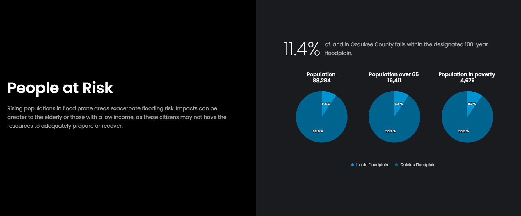
Tools shared on the Digital Coast help turn data into useable information. The Coastal County Snapshots tool lets the user choose a state and county of interest to assess. Three different snapshots are available for most coastal counties. Flood Exposure data offers a quick look at pertinent demographic, infrastructure and environmental concerns within the floodplain. Ocean Jobs incorporates how the economic value of jobs along the coast is impactful. Lastly, Wetland Benefits allow the user to quickly understand how wetlands contribute to coastal resiliency. |